Marine & Survey Services
At Navgrade, we provide advanced GNSS‑enabled marine and coastal survey solutions to support critical infrastructure, offshore, and environmental projects. Our expertise covers hydrographic, geophysical, topographic, and oceanographic surveys, ensuring precision data collection and seamless project execution.
Hydrographic / Bathymetry Survey
- Single Beam & Multi Beam Surveys
- Positioning Services for Navigation & Vessel Tracking
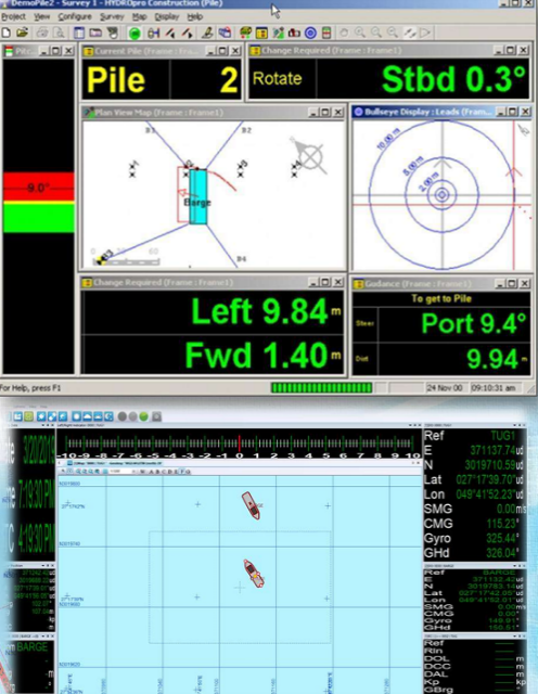
- BMS (Barge Management System) & TMS (Tug Management System) Telemetry
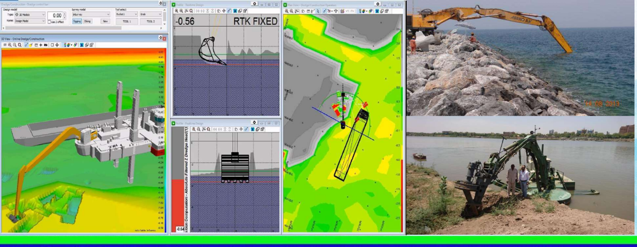
- Machine Control Systems for Excavation, USBL, and Echoscope
Marine Geophysical Survey
- Side Scan Sonar
- Sub‑Bottom Profiling
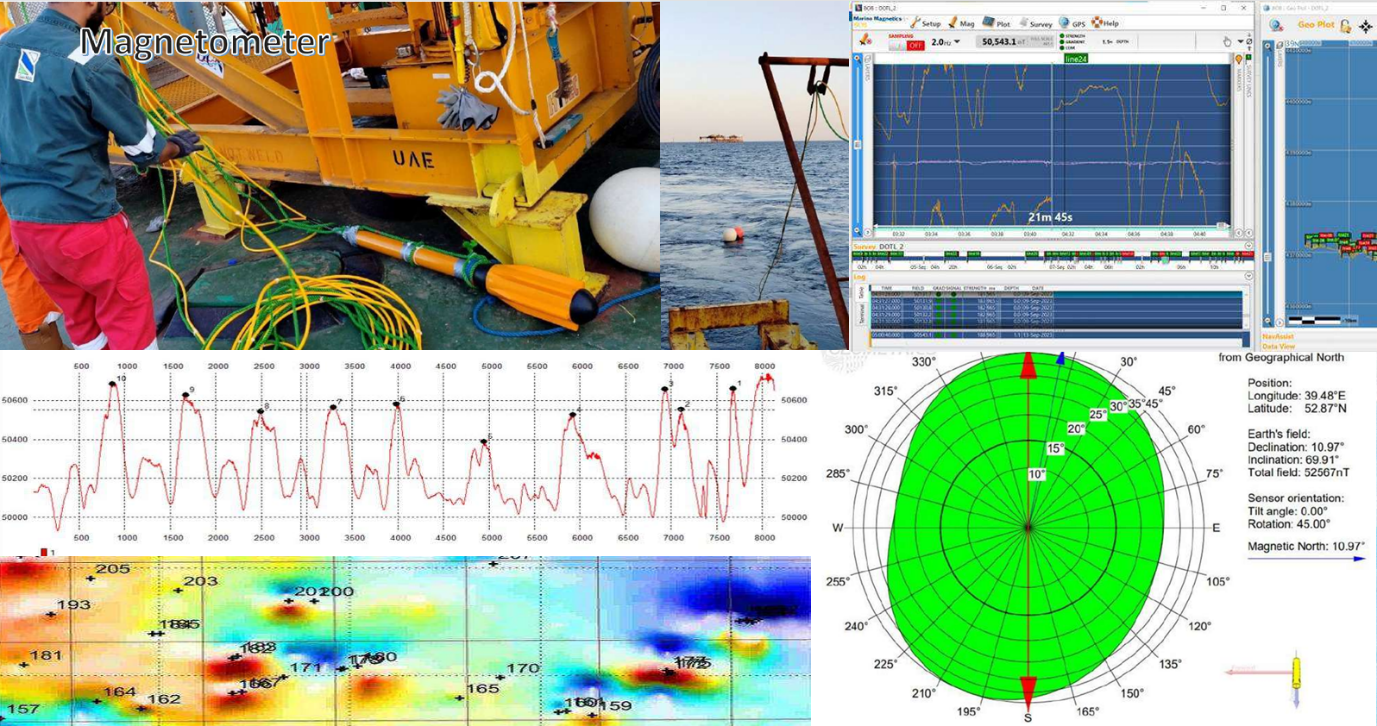
- Magnetic Survey
- Tide Measurement

Topographic & Utility Surveys
-
- Coastal & Nearshore Topographic Surveys
- Underground Utility Surveys
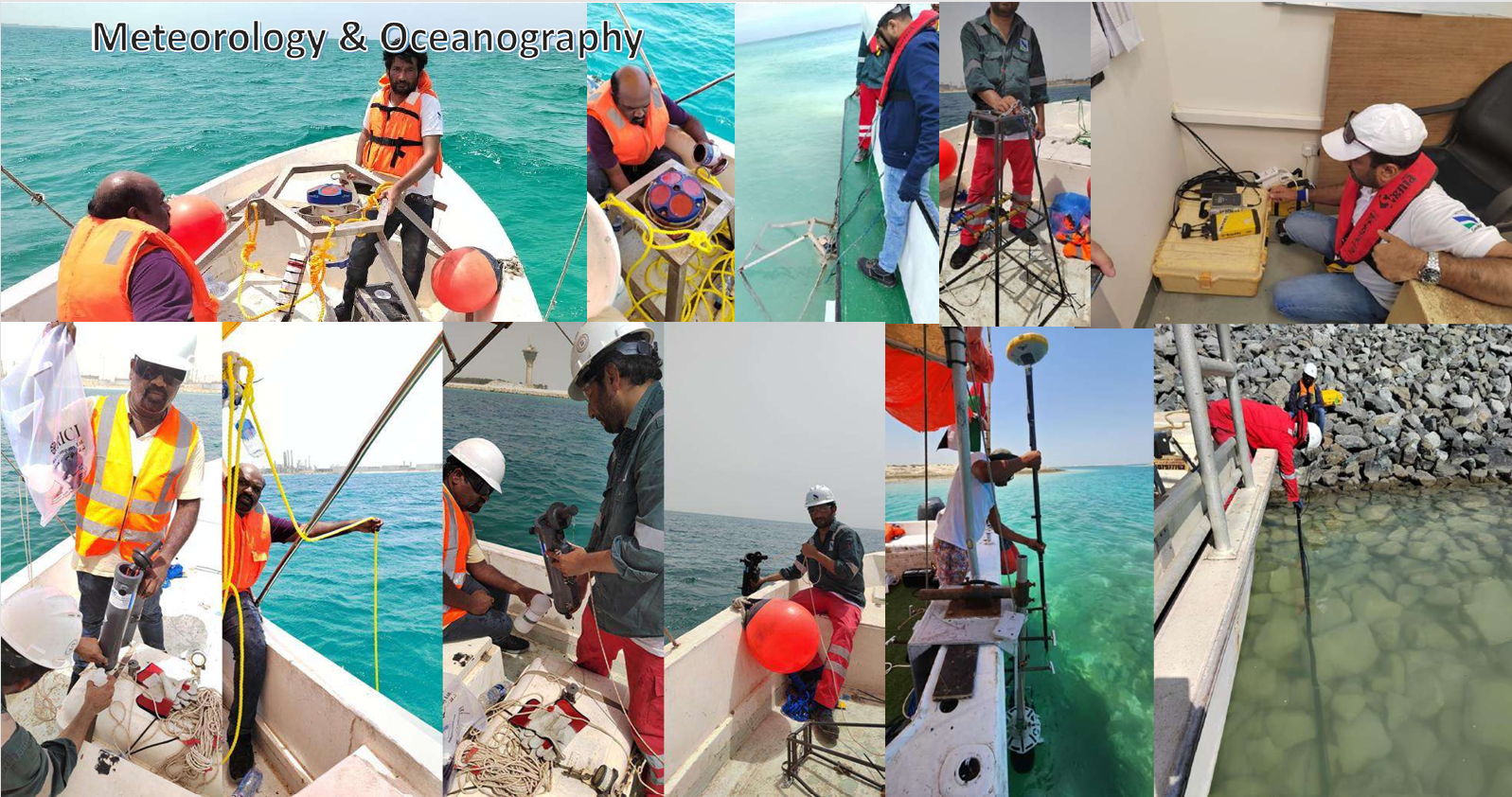
🔹 Meteorology & Oceanography
- ADCP (Acoustic Doppler Current Profiler)
- Tide Gauge & Diving Studies
- Wave Height Monitoring
- Current Speed & Direction Measurement
- Water Temperature & Salinity Studies
- Sediment Movement Analysis
🔹 Offshore Construction Survey Support
- Pipelaying & Cable Laying Support
- Integrated Bathymetry, Geophysical, and Topographic Surveys for:
- Ports
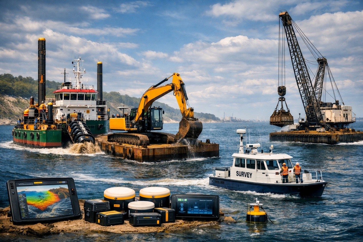
- Dredging
- Trenching
- Reclamation
- Piling
- Harbour & Jetty Development
- Offshore Platforms
- Breakwater Excavator and Wire Crane Machine control support
🔹 Environmental & Project Management
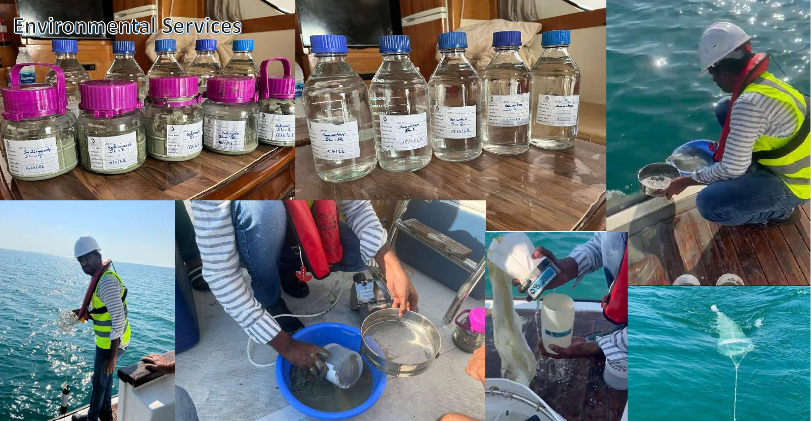
- Survey Project Management for Environmental Studies
- GIS & Geospatial Solutions for Marine Applications